Background & History

Background
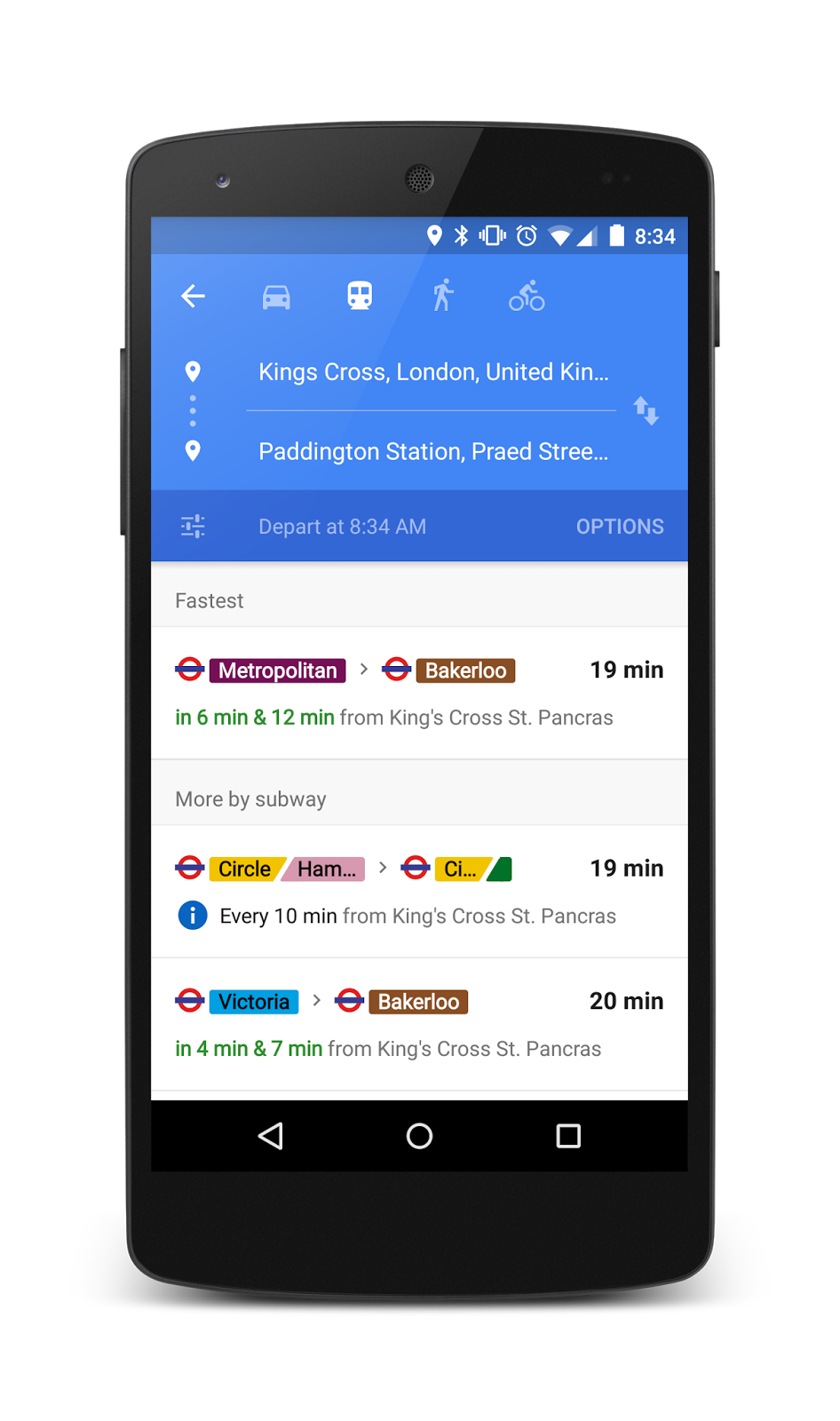
Google Transit, a classic public transportation route planner, is an “inter-modal journey planner typically accessed via the web that provides information about available public transport services”.
The input is a starting point and a destination by public users. The output is a set of route options between the two on public transit services (in Google Transit’s case, walks and cycling routes are also included), in the order of users’ preferences such as price, time, availability, etc.. Time and cost of certain transportation under certain circumstances, for example, arrival or departure time and estimated waiting time for buses are all included. The algorithm of Google Transit is the way it finds the most appropriate routes according to your preferences and display them in an order. This process involves the users’ activities of inputting information, but more importantly, it is an automatic computer language based on the existing and constantly updated data.
History
The idea of Google Transit can be traced back into 2005, when Bibiana McHugh, an IT Manager at Portland’s TriMet transit agency, was frustrated with the lack of access to transit information compared to the abundant driving instructions available online. After she sent inquiries to the IT department of several big-name companies regarding their will to partner with TriMet tuning transit transit data into their map services, only Google responded. An engineer from Google, Chris then used his spare time to help interface the transit data TriMet provided with Google Maps, which became the Google Transit Trip Planner.

December, 2005
Google Transit first went online, providing trip plans with bus and light-rail schedules in Portland

SEPTEMBER, 2006
five more cities went on board: Eugene, OR; Honolulu, HI; Pittsburgh, PA; Seattle, WA; Tampa, FL.

2007
Google published the data format that Chris and TriMet had co-worked on as the Google Transit Feed Specification (GTFS).

2009
Overseeing the number of transit agencies using GTFS and the frequencies of GTFS adopted in places outside Google Map, Google renamed the ‘Google’ part in GTFS to ‘General’ in hope of attracting more transit agencies and app developers.

2011
Google introduced GTFS-live feature to accommodate real-time update of vehicle positions, road condition and service alert within Google Transit.
http://web1.ctaa.org/webmodules/webarticles/articlefiles/Spring_12_DigitalCT_Google_Transit.pdf
https://sf.streetsblog.org/2010/01/05/how-google-and-portlands-trimet-set-the-standard-for-open-transit-data/